


ArcGIS Enterprise
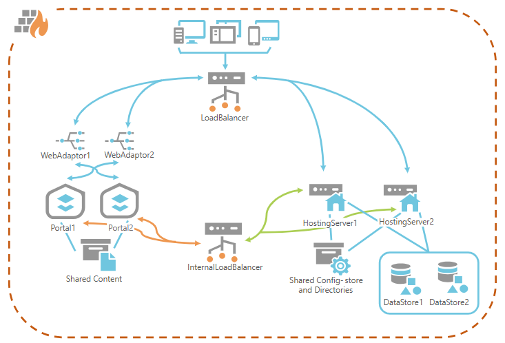
ArcGIS Enterprise Deployment Models: Architecture and Security Considerations
ArcGIS Enterprise Deployment Models: Architecture and Security Considerations

ArcGIS Dash board
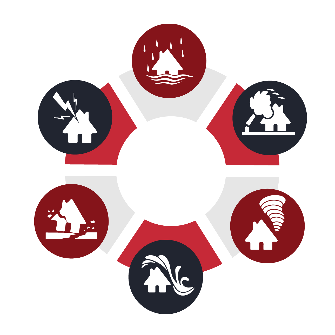
Extreme Weather Insights: An ArcGIS Dashboard for Climate Resilience
In an era of increasing climate volatility, understanding
ArcGIS Story Maps
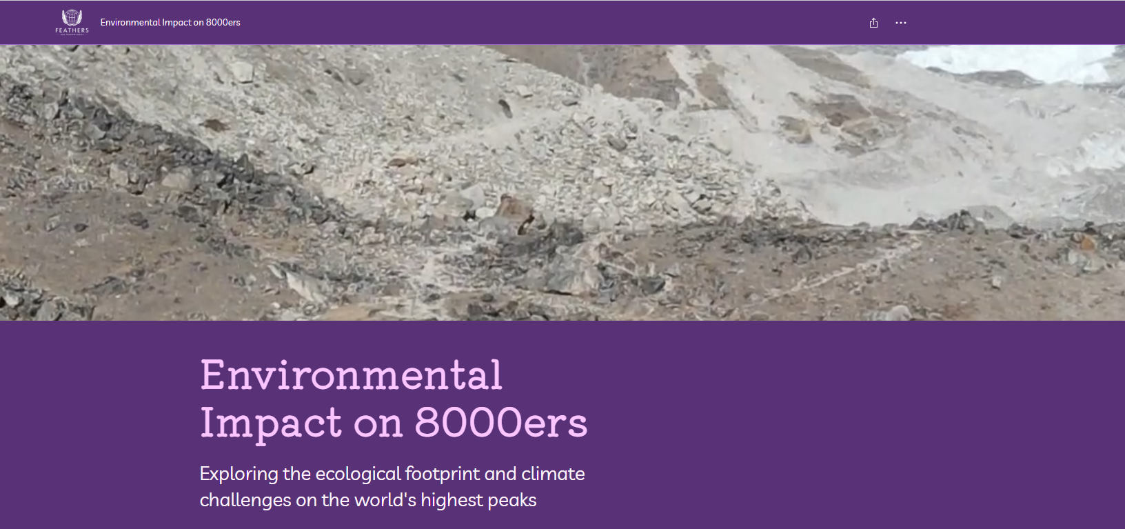
Environmental Impact on 8000ers: Exploring the Ecological Footprint and Climate Challenges on the World’s Highest Peaks through ArcGIS story maps
The fourteen 8000-meter peaks—known as the 8000ers—are not only